Prince William County, Virginia · Bull Run Mountain area
Bull Run Mountain Estates is a Prince William County residential community in the mountain landscape west of Haymarket. Homes and undeveloped lots occupy a wooded setting, with a volunteer civic association and a separate county road-service district. The nearby Bull Run Mountains Natural Area Preserve adds trails and historic sites, but its land and visitor access are separate from the residential neighborhood.
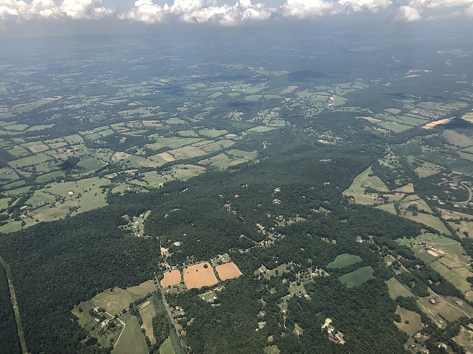
Aerial view across the northern Bull Run Mountains toward Aldie, photographed in 2019.Photo: Famartin · CC BY-SA 4.0 · Resized and JPEG-optimized for display; no content changes.
The residential community and mountain area
Bull Run Mountain Estates occupies part of Bull Run Mountain west of Haymarket in Prince William County. The community’s volunteer civic association organizes local activities and community work, while county Public Works is the contact for road-service concerns.
The nearby Bull Run Mountains Natural Area Preserve protects a larger landscape in Fauquier and Prince William counties. Trails pass former homesteads, mill remains and other cultural sites. The preserve has designated visitor access; its trails do not establish public access across neighboring residential property.
Bull Run Mountain Estates in Prince William County
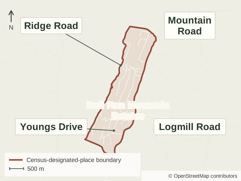
Bull Run Mountain Estates is in western Prince William County, on the Bull Run Mountains.
The line shows the Census-designated place, a statistical area that may differ from locally used neighborhood boundaries.
These direct resources help with two practical questions in the mountain area: finding the relevant water information and planning a visit to the separate natural-area preserve.
Finding the relevant water information
Some Bull Run Mountain/Evergreen properties are served by a groundwater well system. Check the provider and service details for the particular address before choosing the applicable water-quality information.
The preserve’s designated entrance is at 17502 Beverley Mill Drive. General visits use the South Section; the North Section and Jackson Hollow require permission. The visitor page has a trail map, opening times and rules, including restrictions on dogs and bicycles.
Individual homes and undeveloped parcels occupy different parts of the mountain setting. Road access, terrain and water or wastewater arrangements are important property-specific details. County parcel and service-district records are useful starting points for understanding a home or an undeveloped lot.
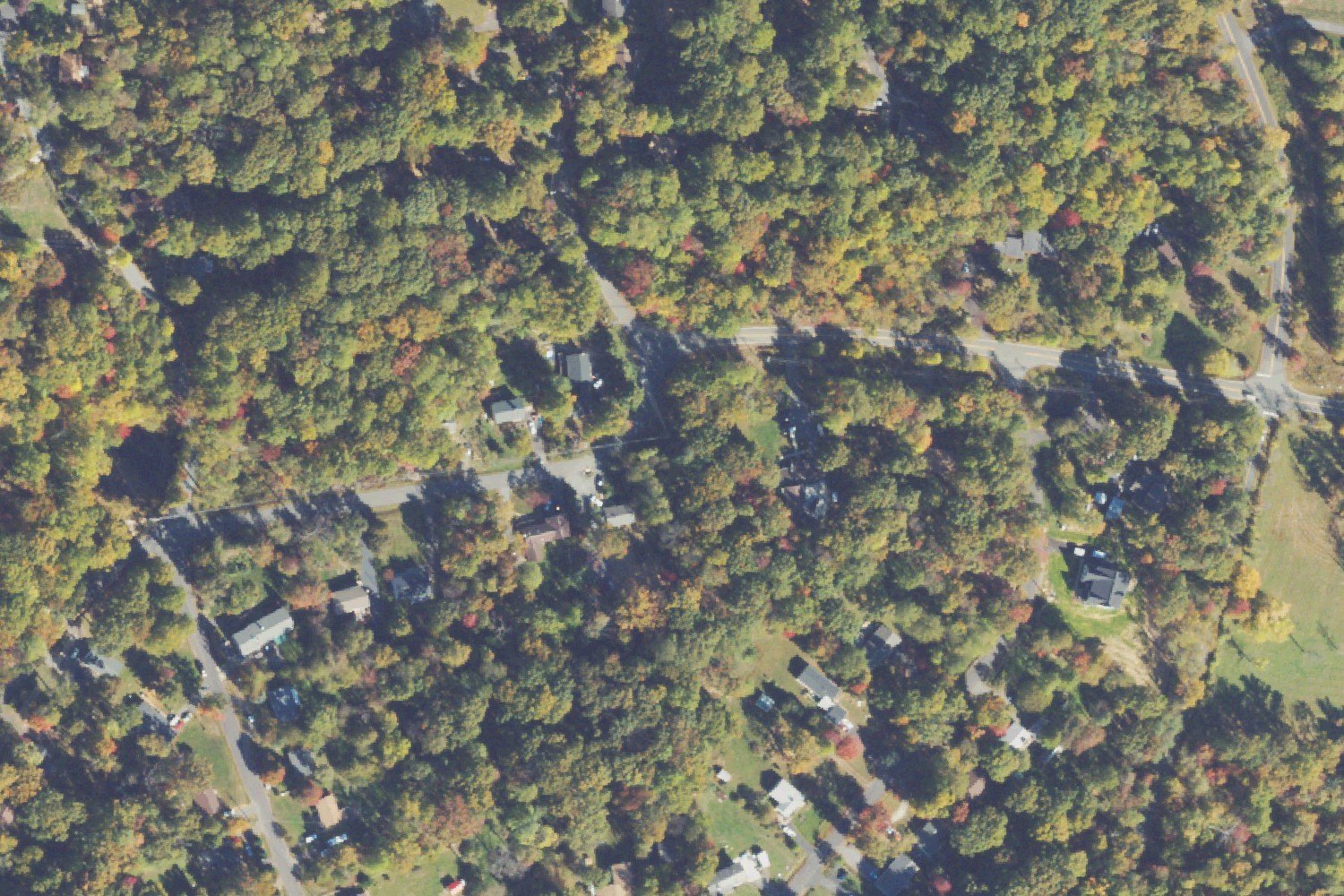
Aerial photograph: homes among wooded lots in Bull Run Mountain Estates. NAIP imagery acquired October 23, 2023. The photograph shows conditions at that time.Photo: USDA NAIP / USGS The National Map · Public domain · Resized and JPEG-compressed for the web; no scene elements altered.
The wider mountain landscape
Virginia’s easternmost mountain range
The Bull Run Mountains are Virginia’s easternmost mountain range. The nearby natural area preserve protects approximately 2,500 acres and ten plant-community types.
The preserve’s Fern Hollow Loop passes mill and homestead remains, an ice house and historic cemeteries. These features belong to the preserve’s wider cultural landscape.
VOF’s historical research includes Hampton Cole, a free Black landowner in Virginia before the Civil War. Archaeology and archival work help interpret the people behind the surviving sites.
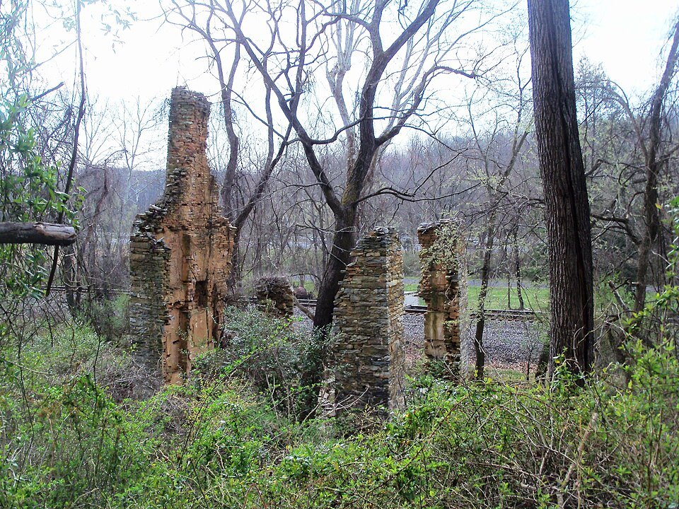
Beverly Mill near Thoroughfare Gap, outside Bull Run Mountain Estates; photographed in 2012.Photo: Idawriter · CC BY-SA 3.0 · Resized and JPEG-optimized for display; no content changes.
Is the preserve part of the residential neighborhood?
No. The preserve is a separate VOF property. Its public trail access does not establish access across neighboring residential land.
Who handles community road concerns?
Prince William County Public Works is the contact for community road concerns; the civic association no longer maintains the roads. Confirm the road segment and jurisdiction for a specific address.
Does the neighborhood name establish a lot’s buildability?
No. Use the parcel’s recorded access, applicable county approvals and utility or wastewater records to evaluate an undeveloped property.